
Property intelligence for hunters
Read the ground.
Hunt with a plan.
The ground. The conditions. The story so far.
Bring it all into your next decision.
Invitation-only. Built for considered decisions.
Read the ground. Follow the route.
- Food SourceValley opening
- Bedding CoverWooded margin
- Water SourceRiver channel
- Stand LocationTimber setback
Set the stand beside the route.
The stand sits in timber, set back from the travel corridor between bedding cover and the river.
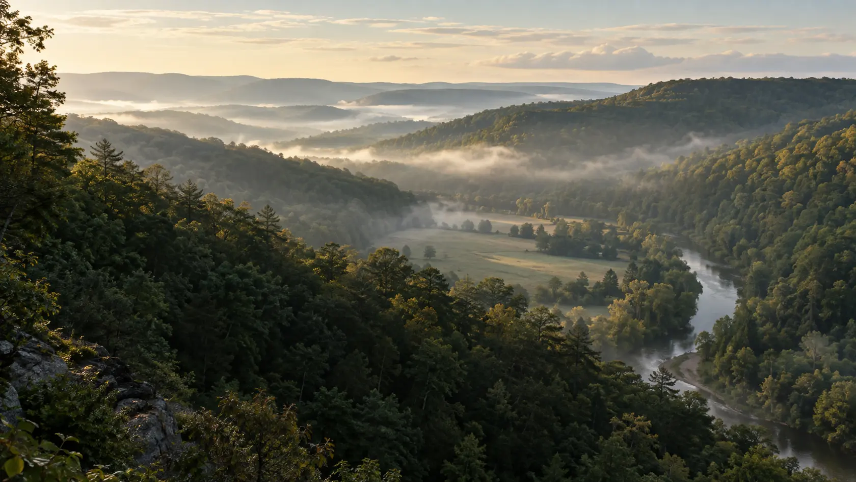
Illustrative whitetail scenario · Generated landscape.
The whole decision.
Tied to the ground.
You know there’s more to a property than its outline.
LimitLine connects your maps, conditions, plans, and field records in one practical workspace. So the details that shape a hunt stay together, season after season.
Meet your field workspaceOne property.
A whole season.
See the whole property.
Put terrain, cover, water, and your own observations into context. Start with what you know. See where the evidence ends.
- Property maps & field markers
- Terrain and habitat context
- Source-aware analysis
Your ground.
Your judgment.
Good tools bring the evidence.
The decision is still yours.
Your locations and field records deserve care. Sharing is explicit. Guidance has limits. A map is never permission to cross a line.
Read our safety boundariesFor the next season. And the one after that.
Start with better ground.
Founders Beta accessExplore the product. Request an invitation. Make it yours.